
Commercial Services
Aerial Photography and Commercial Helicopter Services
Alamo Helicopter Tours provides professional aerial photography, filming, surveying, and aircraft support services throughout San Antonio and the surrounding areas. Our experienced commercial helicopter pilots can help coordinate a safe and efficient flight tailored to your project.
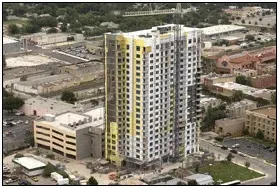
Construction Progress Photography
Document each stage of your construction project with clear aerial images and video. An on-site photographer can accompany the flight to capture the angles and details needed for project updates, inspections, presentations, marketing materials, and stakeholder reports.
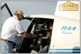
Aerial Video and Motion Picture Filming
Our Robinson R44 can accommodate specialized camera-mounting systems for professional aerial filming. The system supports cameras weighing up to 40 pounds and can produce smooth, high-quality footage at a more affordable cost than many larger helicopter and gyro-mount combinations.
This service is ideal for commercials, documentaries, television productions, motion pictures, promotional videos, and other professional filming projects.
View a demonstration of the camera-mounting system
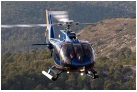
Aircraft Management
Let our aviation professionals help you select the right helicopter for your operational and financial needs. We can also assist with pilot placement, aircraft-specific training, secure storage, maintenance coordination, and ongoing management to help keep your aircraft operating safely and in accordance with applicable FAA requirements.
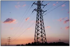
Pipeline and Power Line Surveys
Helicopter surveys provide an efficient way to inspect pipelines, transmission lines, utility corridors, and surrounding rights-of-way. Aerial observation can help identify vegetation encroachment, damaged equipment, construction activity, erosion, access issues, and other potential concerns across large or difficult-to-reach areas.
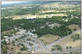
Real Estate and Land Surveys
Showcase residential, commercial, ranch, and undeveloped properties from a unique aerial perspective. Our flights can help property owners, real estate professionals, developers, surveyors, and investors document property boundaries, terrain, access roads, nearby development, and other important land features.
Contact Alamo Helicopter Tours to discuss your project, preferred flight area, photography or filming requirements, and scheduling needs.